
Mapstraction
Mapstraction is a Javascript library that provides a single, common interface for a wide variety of Javascript map APIs. It’s designed to enable a developer to switch from one maps API to another as smoothly and as quickly as possible.

a curated guide to the best tools, resources and technologies for data visualization
Mapstraction is a Javascript library that provides a single, common interface for a wide variety of Javascript map APIs. It’s designed to enable a developer to switch from one maps API to another as smoothly and as quickly as possible.
Timemap.js is a Javascript library that helps you to produce online maps (such as Google, OpenLayers, and Bing) along with a SIMILE timeline. You can load one or more datasets (in JSON, KML, or GeoRSS) onto both a map and a timeline simultaneously. By default, only items in the visible range of the timeline are displayed on the map.

An open-source global database of address data. Parse & import into a database, put on a map, or use for geocoding.

Mapkit.io may appear at first glance to be just another Google Mapmaking tool, but look beyond the surface and you’ll find a rich feature-set available in a convenient interface that allows you to live search places, add themes, get route directions, calculate travel durations and distances, add photos and more.

GDAL (Geospatial Data Abstraction Library) is a translator library for raster and vector geospatial data formats that is released under an X/MIT style Open Source license by the Open Source Geospatial Foundation.
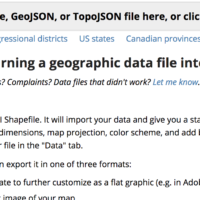
Mapstarter is a tool for turning a geographic data file into a map for the web.
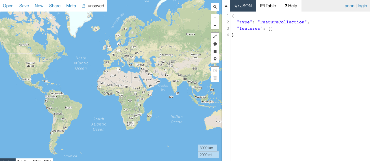
Quickly and easily convert Shapefiles into GeoJSON format with this web app.
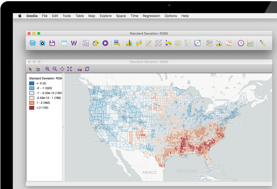
GeoDa is a free and open source software tool that serves as an introduction to spatial data analysis. It is designed to facilitate new insights from data analysis by exploring and modeling spatial patterns.
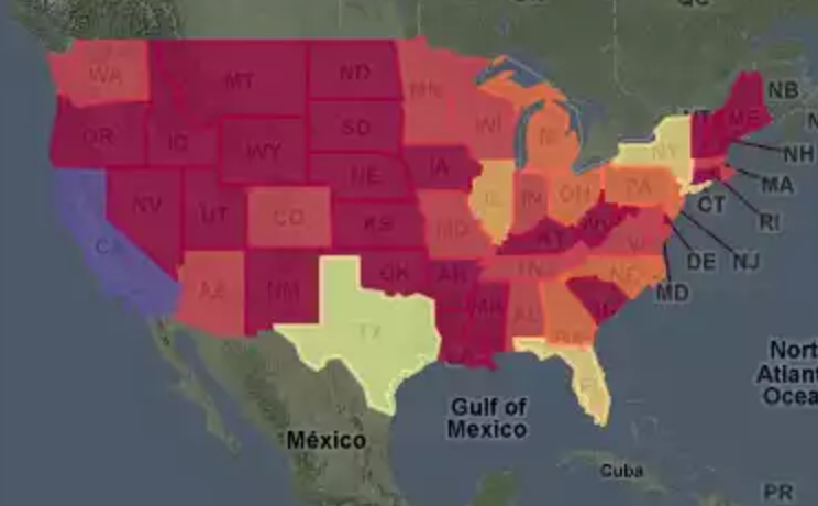
Thematic mapping library for Google Maps.
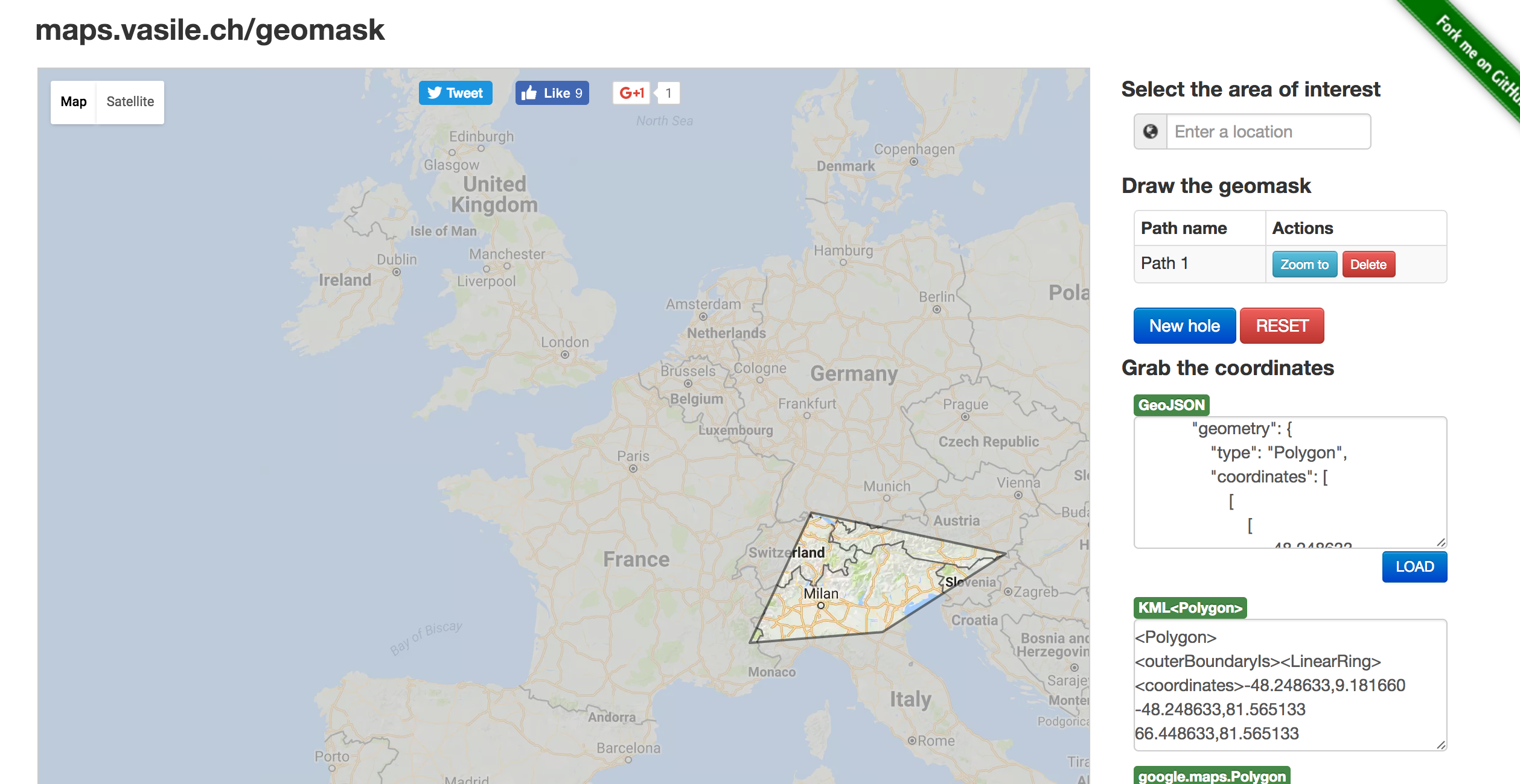
Simple open-source web app that allows you to draw a polygon or input geospatial data as KML, GeoJSON or Google Maps KML, highlighting the polygonal area and shading the rest of the map.

A tool for working with various types of geospatial data, including GeoJSON, TopoJSON and Shapefiles.
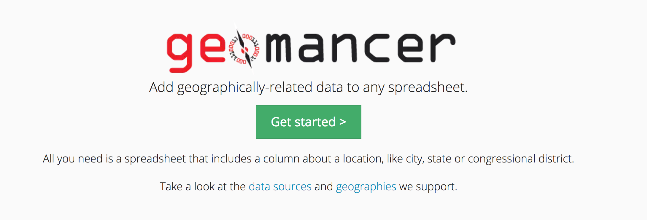
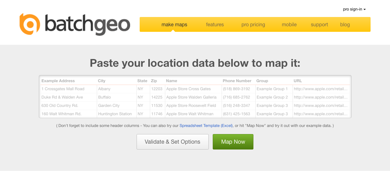
Add geographically-related data to any spreadsheet.

MapJam allows users to create beautiful maps from scratch.
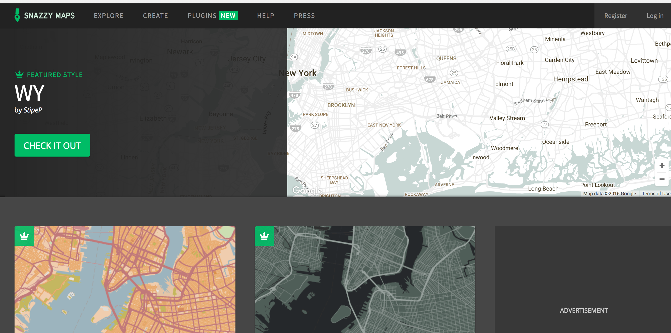
Snazzy Maps is a repository of different styles for Google Maps aimed towards web designers and developers.
A library of resuable D3-maps ready to populate with your own datasets.
Creat crowdsourced interactive maps of places, things, events.
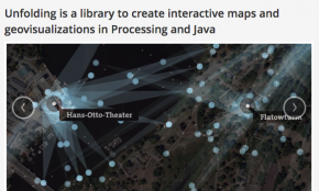
Unfolding is a library to create interactive maps and geovisualizations in Processing and Java. You can quickly create interactive maps with features such as pan and zoom and the ability to handle multi-touch gestures. You can style your mapping tiles, using various mapping providers like OpenStreetMap or TileMill and naturally you can overlay a data display layer.
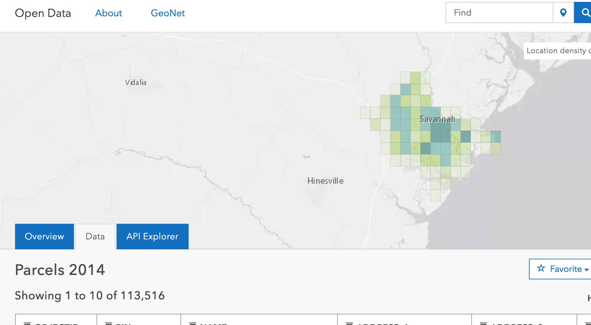
The largest repository of geospatial and other civic datasets in the world, the OpenData platform has all kinds of handy data sources.
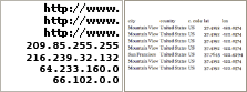
Converts IP addresses to locational data with lat-long coordinates.
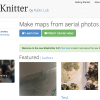
Make maps from aerial photos with MapKnitter
Customizable SVG map visualizations for the web in a single Javascript file using D3.js
Much like StoryMaps.js and OddyseyJS, MapMe allows for you to create linear stories based upon location, combined with rich media and text to craft an engaging interactive narrative
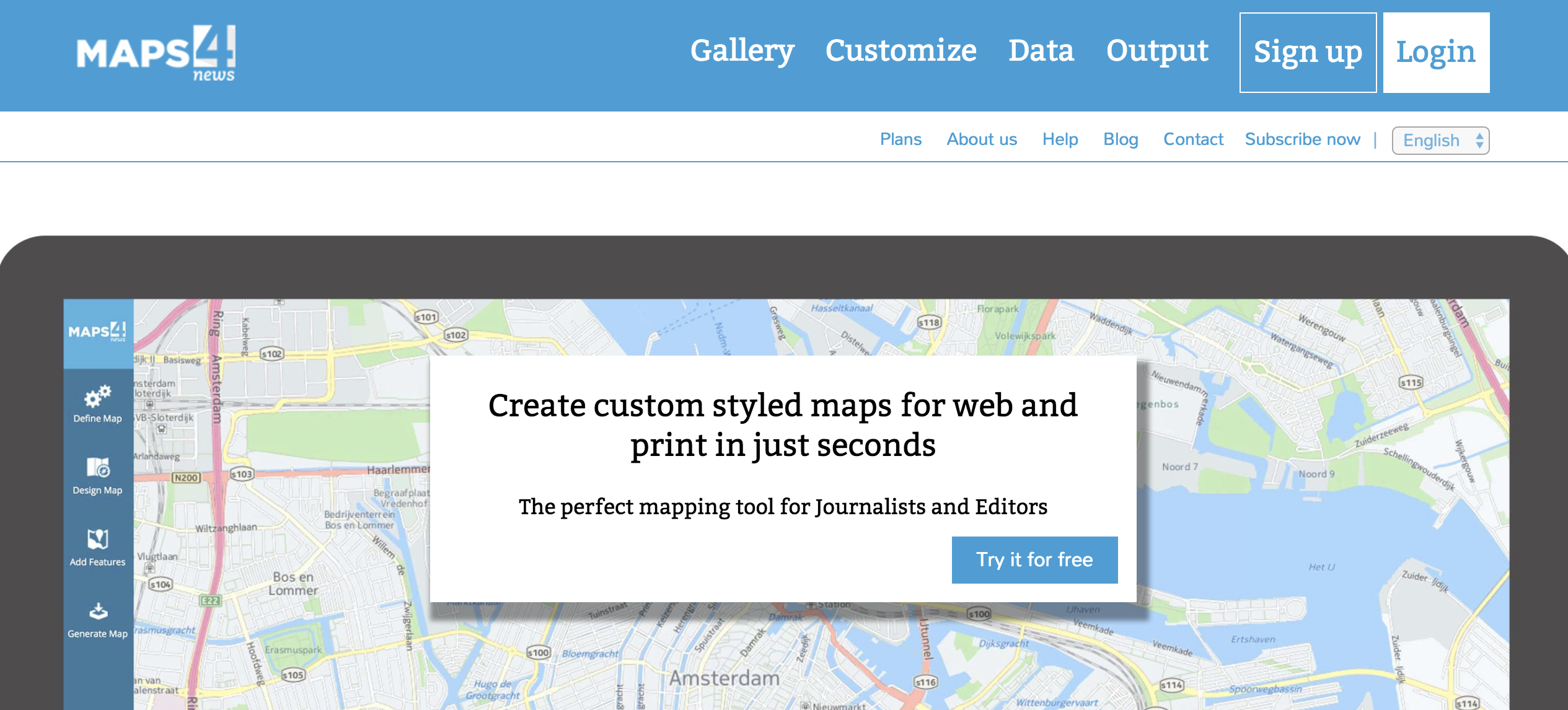
Create custom styled maps for web and print in just seconds

A desktop geospatial data manipulation tool, QGIS retains immense value in interactive mapping.

Google Maps made easy — with a range of basemaps to choose from.
You can easily make your own map by adding points, lines, polygons or labels. You can easily make your own map by adding points, lines, polygons or labels. Select from 20 different basemaps for background. Import and export data in KML, GPX or GeoJSON formats.
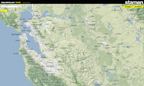
For over a decade, Stamen has been exploring cartography with clients and in research. These maps are presented here for your enjoyment and use wherever you display OpenStreetMap data.
Developed by MapGenia of Barcelona, TargetMap aims to provide an easy way to create and share customised data maps on line, allowing everyone from individuals to large organisations to be able represent their data on maps of any country in the world and to share their knowledge through an online community and gallery of creations.
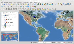
Quantum GIS (QGIS) is a user friendly Open Source Geographic Information System (GIS) licensed under the GNU General Public License. QGIS is an official project of the Open Source Geospatial Foundation (OSGeo). It runs on Linux, Unix, Mac OSX, Windows and Android and supports numerous vector, raster, and database formats and functionalities.
Polymaps is a project from SimpleGeo and Stamen which offers a free JavaScript library for making dynamic, interactive maps in modern web browsers. It provides speedy display of multi-zoom datasets over maps, and supports a variety of visual presentations for tiled vector data. Because Polymaps can load data at a full range of scales, it’s ideal for showing information from country level on down to states, cities, neighborhoods, and individual streets. n Examples/references: Examples, Documentation
Preci Analyse & Explore is the free version of Preci: See data on a map and on a chart, see the interaction between the two. Experience the very best of geographic data intelligence.
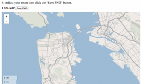
Print Map Maker is an alternative method for building print locator maps and using the same technologies that power modern web maps. Simple print locator maps are extremely effective storytelling tools, but they can take a long time to produce. Why? Well, to start with, you have to find a reference that is licensed to use, digitize it and redraw the information, which can be a lot of work for an element that is 2 inches square. Print Map Maker allows artists and designers to create quality maps at a resolution high enough to look crisp on newsprint. References: Read more

Simple, fast, lightweight and (nearly) free geocoding solution for larger datasets.
Add geographically-related data to any spreadsheet.
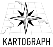
Kartograph is a simple and lightweight framework for building interactive map applications without Google Maps or any other mapping service. It was created with the needs of designers and data journalists in mind. Actually, Kartograph is two libraries. One generates beautiful & compact SVG maps; the other helps you to create interactive maps that run across all major browsers. n Examples/references: Gallery
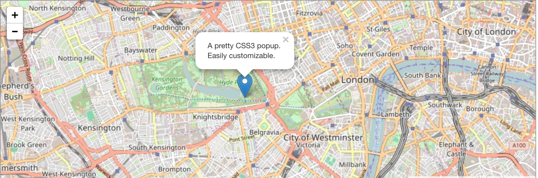
Leaflet is a modern open-source JavaScript library for mobile-friendly interactive maps with all the features most developers ever need for online maps. Leaflet is designed with simplicity, performance and usability in mind. It works efficiently across all major desktop and mobile platforms out of the box, taking advantage of HTML5 and CSS3 on modern browsers while still being accessible on older ones. It can be extended with many plugins, has a beautiful, easy to use and well-documented API and a simple, readable source code that is a joy to contribute to. n Examples/references: Features
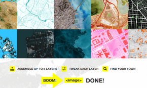
Map Stack makes designing maps free, easy and fun. Assemble a selection of different map layers like backgrounds, satellite imagery, terrain, roads or labels! Tweak Photoshop-like controls like colors, masks, opacity and brightness to make a map your own! Share your map with a link or Pinterest or Tumblr!
Map Vectorizer is an open-source map vectorizer project which aims to automate a manual process: geographic polygon and attribute data extraction from maps including those from insurance atlases published in the 19th and early 20th centuries.
Design custom maps that fit seamlessly in your application.
MAPCITE Online delivers to the capability to map big data to the non-technical user plus the ability to build and manipulate complex visual representations of data that would normally never move beyond the spreadsheet.
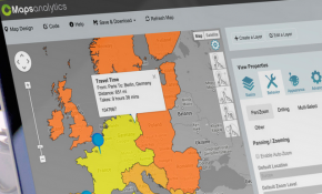
Make sense of your data on a Google Powered Map in secondsGeo-analytics simplified. Paste from a spreadsheet into our mapping tool and get started - Free! It’s not about maps: It’s about insight.
Google Earth provides a 3D interface view of the globe, letting you pan and zoom to explore the Earth. The real power of these tools from a visualisation sense comes particularly through the features of accompanying APIs (eg. Google Maps API and Google Visualization AP) and through the process of combining KML data, which enables you to overlay your own visual data onto the foundation 2D or 3D mapped views. n Examples/references: Google Earth Tutorials, Thematic Mapping, Barnabu Scribble Map, Yosemite Rim Fire
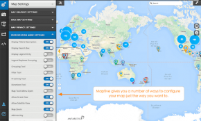
Build highly customisable maps with your own content and imagery. Create rich applications and stunning visualisations of your data, leveraging the comprehensiveness, accuracy, and usability of Google Maps and a modern web platform that scales as you grow.In only a few lines of JavaScript code, build and style a map to call your own. With plenty of Google libraries and services at your disposal (including Geocoding, Directions, Street View and more) your imagination is truly the limit. n Gallery/References: Tutorial
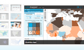
Indiemapper describes itself as a smarter, easier, more elegant way to make thematic maps from digital data, closing the gap between data and map by taking a visual approach to map-making. It is a web-based app that loads geo-data, allows custom control over mapmaking, and exports static maps in vector and raster formats. With Indiemapper you have the tools you need to make beautiful thematic maps without overwhelming you with hundreds of obscure GIS functions, with nothing being any more than 2 clicks away to keep mapmaking simple, fast, and fun. n Examples/references: Gallery, System information, FlowingData Review
Location Hub® Viewer is the industry’s only cloud-based data visualization tool that automatically cleanses your data before displaying it on a map, providing you with a more accurate view of your business.
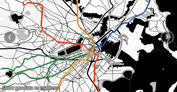
Dotspotting is the first project Stamen is releasing as part of Citytracking, a project funded by the Knight News Challenge, making tools to help people gather data about cities and make that data more legible.
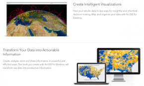
ArcGIS is a range of powerful and versatile mapping tools from ESRI. The products allow you to integrate data layers onto maps, globes, and models on the desktop and serve them out for use on a desktop, in a browser, or in the field via mobile devices. For developers, ArcGIS gives you APIs for building rich, interactive applications using JavaScript, Flex, or Silverlight, embedding your applications into Web pages or launch stand-alone Web applications. n Examples/references: ArcGIS Desktop, ArcGIS Web Mapping, ArcGIS Explorer, Gallery
Point and click maps design with unlimited possibilities for location based analysis. CMaps Designer provides rapid creation of maps without any server software or specialized skills required. Create drillable regional views, drive-time analysis and other visualizations on top of a consumer friendly Google Maps for Work. Use CMaps Analytics platform to integrate location intelligence within any HTML5 or Mobile App, anywhere (on-premise or cloud).
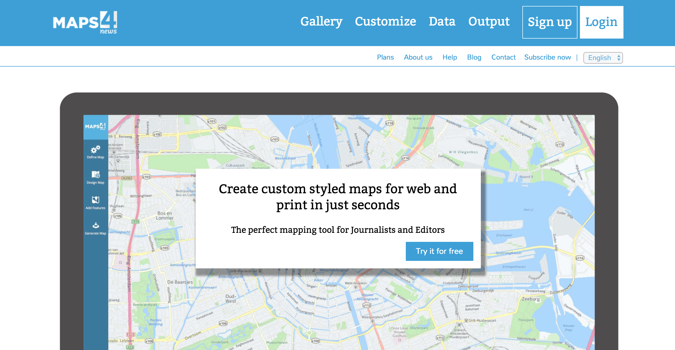
Create vector and raster maps in your own design. Start making maps online straight away with just a few clicks. Maps4New online is an easy-to-use, fast, and powerful mapping tool for all your maps. Create custom styled maps, add your data and publish your maps online or in printed material.
A lightweight JavaScript library for making tile-based interactive maps for desktop and mobile browsers.
A library to create interactive maps and geovisualizations in Processing and Java.
A library for making dynamic, interactive maps with image- and vector-based tiles.
A simple and lightweight framework for creating beautiful, interactive vector maps.
Allows for the conversion of a variety of different formats of geospatial data.
Tags: data conversion, geojson, geospatial data, kml, shp
A display and interaction library for tile-based maps in Flash, JavaScript and Python.
Freemium tool to geocode mass amounts of address data for geospatial visualization. Especially handy for geocoding massive bulk datasets.
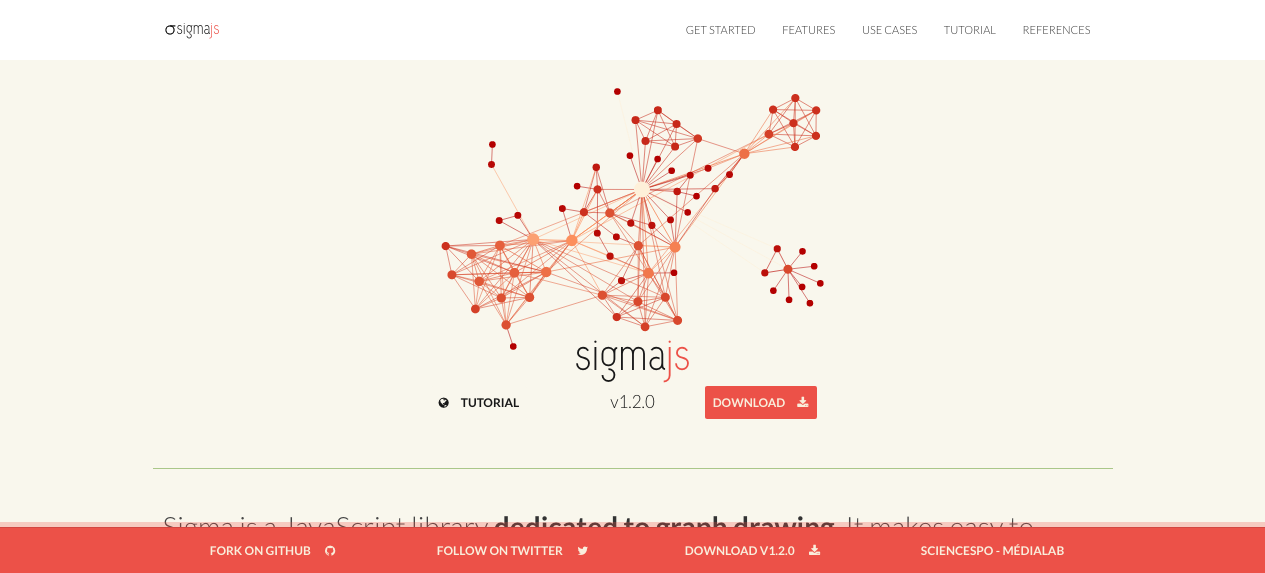
An open-source lightweight library to display interactively static and dynamic graphs.

FindLatitudeLongitude provides a fast, free, straightforward web interface for geocoding street addresses or place names into -lat,-long values readable by geospatial visualization engines such as CARTO or Google Fusion Maps. Only downside is that it can’t handle extremely massive datasets very well without freezing.
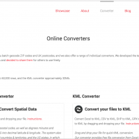
Free online data format converters that allow the user to conduct batch geocode ZIP codes and UK postcodes, and a range of individual converters. We developed the technologies behind these converters for our own products and decided to share them for others to use freely.
A web service for mapping, analyzing and building applications with data.